
Kohat District: History, Resources, Tourism and Culture
Explore Kohat District, its history, strategic passes, natural resources, Tanda Dam, guavas, culture, tourism, education and economic importance.
Introduction
Kohat District is one of the historically and strategically important regions of Khyber Pakhtunkhwa, connecting the Peshawar Valley with the southern districts and routes toward Punjab and Balochistan. Known for its rugged mountains, historic passes, Tanda Dam and famous guava orchards, Kohat District combines natural beauty with economic and strategic importance.
The history of Kohat District stretches across centuries, from references in the Baburnama to the Sikh period and the establishment of a major British military cantonment. Its location around the Kohat Pass and Darra Adam Khel made the region an important gateway for military movements, trade and communication between northern and southern parts of the province.
Today, Kohat District is also recognized for its oil and gas resources, limestone, gypsum, cement industry, agriculture, educational institutions and traditional handicrafts. From Tanda Lake and mountain landscapes to Kohati chappal and locally grown guavas, Kohat presents a distinctive combination of history, culture, natural resources and tourism.
Quick Answer: Why Is Kohat District Important?
Kohat District is important because of its strategic location, historic military role, natural resources, agriculture, industrial activity and cultural heritage. It connects the Peshawar region with southern Khyber Pakhtunkhwa and important routes toward Punjab and Balochistan. The district is also known for Tanda Dam, Kohat guavas, oil and gas resources, Darra Adam Khel and historic British-era buildings.
Location of Kohat District
Kohat District is located in the central-southern part of Khyber Pakhtunkhwa and serves as the headquarters of Kohat Division. Its geographical position gives it importance as a natural gateway between the Peshawar Valley and the southern districts of the province.
The district is bordered by Peshawar and Khyber to the north, Nowshera and Attock across the Indus River toward the east, Karak to the south, and Hangu and Orakzai toward the west. Its landscape includes rugged mountains, valleys, limestone and gypsum formations, salt deposits and fertile agricultural areas.
Kohat District at a Glance
| Feature | Information |
|---|---|
| Province | Khyber Pakhtunkhwa |
| Division | Kohat Division |
| Major Languages | Pashto and Hindko |
| Major Tribes | Bangash, Khattak and Afridi |
| Major Water Resource | Tanda Dam and Tanda Lake |
| Major Resources | Oil, natural gas, limestone, gypsum, coal and salt |
| Major Route | Indus Highway (N-55) |
| Famous Products | Guavas and Kohati Chappal |
Administrative Structure of Kohat District
Kohat District is an important administrative centre of Kohat Division and consists of four major tehsils. Kohat Tehsil contains the main urban and surrounding areas, while Lachi and Gumbat represent important parts of the district’s rural and agricultural landscape.
Darra Adam Khel has a particularly significant historical and geographical position. Following Pakistan’s 25th Constitutional Amendment, the former Frontier Region of Kohat became part of the regular administrative structure of Khyber Pakhtunkhwa.
Major Tehsils of Kohat District
- Kohat Tehsil – the main urban and suburban area.
- Lachi Tehsil – an important rural and agricultural area.
- Gumbat Tehsil – known for its settlements and agricultural landscape.
- Darra Adam Khel – a historically important mountainous area and former tribal region.
History of Kohat: From Baburnama to British Cantonment
The history of Kohat District reflects centuries of military movements, tribal resistance and changing political control. Mughal emperor Zahir-ud-din Muhammad Babur mentioned Kohat in the Baburnama in connection with his campaign in the region in 1505. His account also referred to the gardens and agricultural character of the area.
During the Sikh period, the forces of Maharaja Ranjit Singh and Hari Singh Nalwa extended their control over Kohat. Local Bangash and Khattak communities resisted the expansion of Sikh authority. Later, following the British expansion in the region, Kohat became an important frontier military cantonment.
British Heritage in Kohat
- Kohat Cantonment – developed as an important British military base.
- Cavagnari House – associated with the British-era history of Kohat.
- Christ Church – an architectural reminder of the colonial period.
- Historic Cantonment Buildings – including old bungalows and other structures.
These historical remains help explain why Kohat District became an important military and administrative centre during the British period.
Strategic Importance and Kohat Tunnel
The Kohat Pass, locally known as Kotl, historically provided a difficult mountain route between Peshawar and Kohat. For decades, steep terrain and winding roads made transportation challenging for passengers and commercial traffic.
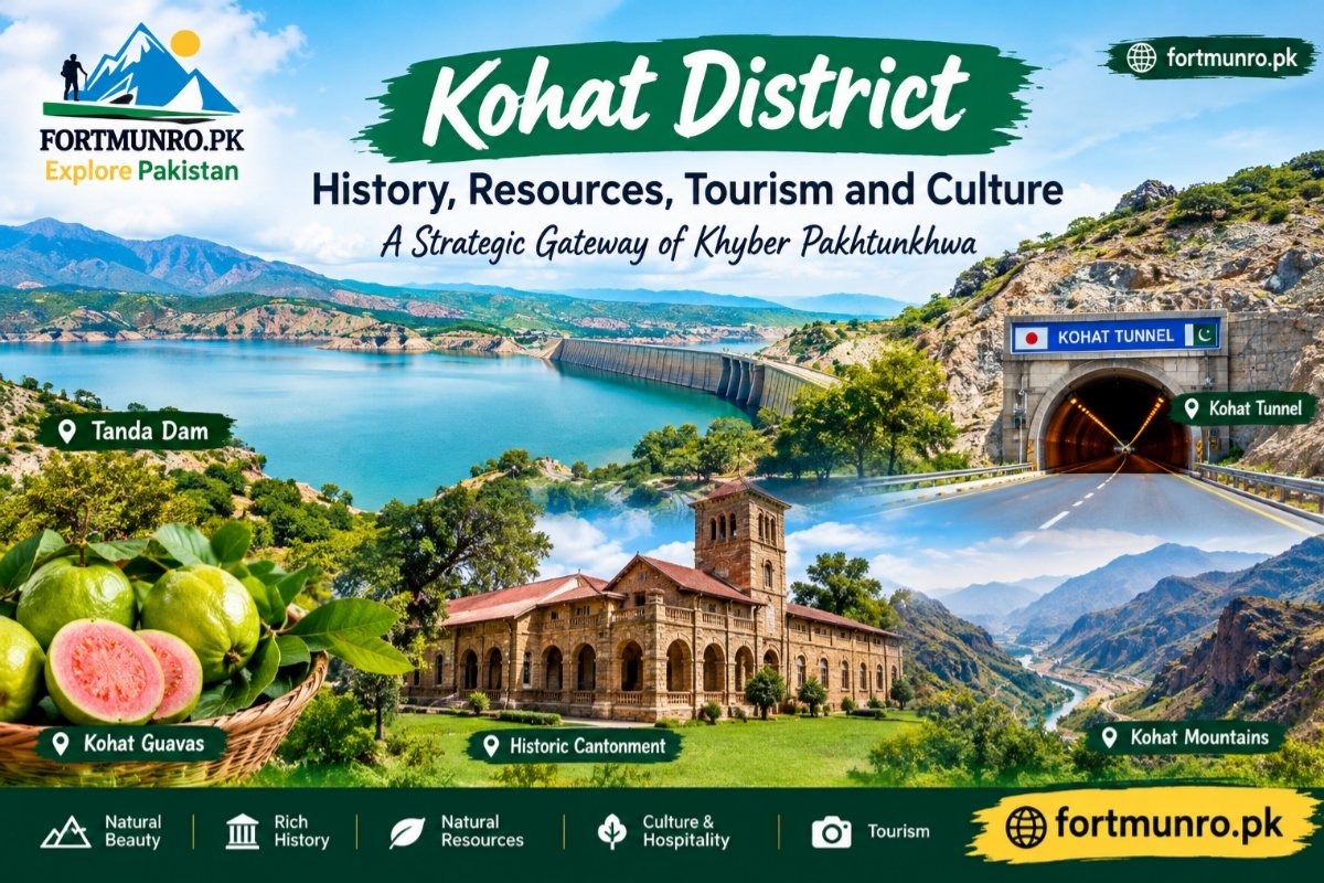
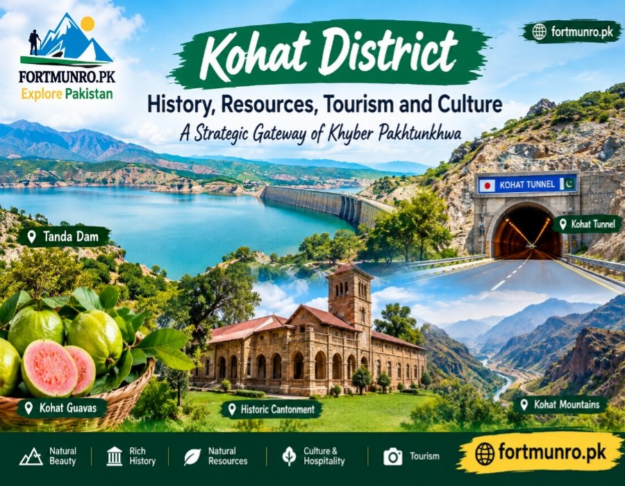
The Kohat Tunnel, constructed with Japanese cooperation and opened in 2003, significantly improved connectivity. Located along the Indus Highway (N-55), the approximately 1.9-kilometre tunnel reduced travel difficulties through the mountain route and strengthened the transportation link between Peshawar, Kohat and southern Khyber Pakhtunkhwa.
Darra Adam Khel and Its Historical Role
Darra Adam Khel is another important part of Kohat District’s strategic identity. The mountainous settlement has historically been associated with traditional craftsmanship and locally manufactured arms. Its location along an important passage contributed to its historical significance in the wider Kohat region.
Natural Resources and Industry
The economy of Kohat District is supported by a combination of natural resources, agriculture and industry. The Kohat Basin is an important hydrocarbon-producing region, with oil and natural gas resources contributing to Pakistan’s energy supply.
The district also contains deposits of limestone, gypsum, coal and industrial salt. Cement production is another important part of the local industrial economy, making mineral resources a significant component of Kohat’s economic importance.
Major Natural and Industrial Resources
| Resource | Importance |
|---|---|
| Oil | Important energy resource |
| Natural Gas | Contributes to energy supply |
| Limestone | Used in construction and cement |
| Gypsum | Important industrial mineral |
| Coal | Local mineral resource |
| Salt | Industrial and natural resource |
| Cement | Major industrial activity |
Agriculture, Tanda Dam and Famous Products
Agriculture remains an important part of life in Kohat District. The district is particularly famous for its guavas, which are valued for their fragrance, sweetness and soft pulp. Kohat guavas have developed a strong reputation among consumers in different parts of Pakistan.
Tanda Dam, constructed on Kohat Toi during the 1960s, is another important feature of the district. The reservoir supports irrigation and provides a natural habitat for waterbirds. Tanda Lake has also gained international recognition as a Ramsar wetland site.
Traditional Products of Kohat
- Kohati Chappal: A traditional leather footwear product known for its durable construction and comfortable design.
- Guavas: One of the most famous agricultural products associated with Kohat.
- Mazri Handicrafts: Traditional items such as mats, baskets and household articles made from the leaves of the mazri plant.
Education and Healthcare
Education has an important role in the development of Kohat District. The district is home to institutions that have contributed to education, leadership, science and professional training in Khyber Pakhtunkhwa.
Cadet College Kohat, established in 1965, is one of the prominent educational institutions associated with the district. Kohat University of Science and Technology provides higher education in science, information technology and social sciences, while Khyber Medical University Institute of Medical Sciences contributes to medical education and healthcare services.
Culture, Tribes and Languages
The cultural identity of Kohat District is strongly connected with Pashtun traditions, tribal history and hospitality. Bangash and Khattak communities have long been associated with the region, while Afridi communities are prominent in Darra Adam Khel.
Pashto is widely spoken in rural and tribal areas, while Hindko, particularly the Kohati variety, has historically been spoken by communities in urban Kohat and the cantonment. This linguistic diversity is an important part of the district’s cultural character.
The traditional hujra and jirga systems also remain important cultural concepts. Hospitality, community relationships and Pashtunwali traditions continue to influence social life in the region.
Tourist and Historical Places in Kohat
Kohat District offers a combination of natural scenery, historical architecture, mountain landscapes and recreational locations. Tanda Dam and Tanda Lake are among the better-known places for visitors interested in water scenery and outdoor recreation.
Other locations, including the Kohat Pass viewpoints, historic railway infrastructure, old cantonment areas and natural springs, provide opportunities to explore the district’s historical and geographical character.
Places to Explore
| Place | Main Attraction |
|---|---|
| Tanda Dam | Lake, scenery and recreation |
| Tanda Lake | Wetland and bird habitat |
| Kohat Pass Viewpoint | Mountain and valley views |
| Historic Kohat Railway Station | British-era heritage |
| Old Cantonment Area | Colonial architecture |
| Chashma Springs | Natural springs and scenery |
Why Kohat District Matters to Pakistan
The importance of Kohat District goes beyond its geographical boundaries. Its strategic location has historically made it an important communication corridor, while its oil, gas and mineral resources contribute to the wider economy.
At the same time, agriculture, education, traditional crafts and tourism provide additional dimensions to the district’s identity. The combination of mountains, historic routes, fertile areas, water resources and cultural traditions makes Kohat a distinctive region of Khyber Pakhtunkhwa.
Conclusion
Kohat District is a remarkable combination of strategic geography, military history, natural resources and cultural heritage. From the historic Kohat Pass and Darra Adam Khel to the British-era cantonment and Kohat Tunnel, the district has played an important role in regional connectivity and history.
The natural and economic identity of Kohat District is equally significant. Oil and gas, limestone, gypsum, cement, agriculture and famous guavas contribute to its economy, while Tanda Dam and Tanda Lake add important environmental and recreational value.
For travellers and history enthusiasts, Kohat District offers a different side of Khyber Pakhtunkhwa—one where mountain landscapes, ancient routes, tribal traditions, colonial heritage, natural resources and modern infrastructure come together to tell the story of an important gateway of Pakistan.
FAQs.
Where is Kohat District located?
Kohat District is located in the central-southern part of Khyber Pakhtunkhwa, Pakistan. It connects the Peshawar region with southern districts of the province.
Why is Kohat District famous?
Kohat District is famous for its strategic location, historic military heritage, Kohat Tunnel, Tanda Dam, guavas, natural resources, Darra Adam Khel and traditional culture.
What are the major natural resources of Kohat District?
The major natural resources include oil, natural gas, limestone, gypsum, coal and industrial salt. These resources contribute to the district’s economic and industrial importance.
What is Kohat Tunnel?
Kohat Tunnel is a major road tunnel on the Indus Highway (N-55), constructed with Japanese cooperation. It improved connectivity between Peshawar, Kohat and southern Khyber Pakhtunkhwa.
What is Kohat famous for in agriculture?
Kohat is particularly famous for its guavas, which are known for their sweetness, fragrance and soft pulp. The fruit is an important agricultural identity of the district.
What is Tanda Dam in Kohat?
Tanda Dam is an important water reservoir near Kohat. It supports irrigation and forms Tanda Lake, which is also significant for waterbirds and the natural environment.
Which tribes live in Kohat District?
Bangash and Khattak are among the major Pashtun tribes historically associated with Kohat. Afridi communities are also prominent in Darra Adam Khel.
What languages are spoken in Kohat District?
Pashto is widely spoken in rural and tribal areas, while Hindko, particularly the Kohati variety, is traditionally spoken by many communities in urban Kohat and surrounding areas.
What are the main tourist attractions in Kohat District?
Important attractions include Tanda Dam and Tanda Lake, Kohat Pass viewpoints, historic railway infrastructure, old cantonment buildings and natural springs such as Chashma Springs.
Why is Kohat District strategically important?
Kohat District is strategically important because of its location between the Peshawar Valley and southern Khyber Pakhtunkhwa. Historic mountain passes, Darra Adam Khel and the Kohat Tunnel have strengthened its role as a major gateway and transport corridor.